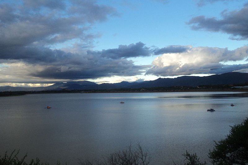
 San Jacinto Lake in Tarija, Bolivia
Source: https://commons.wikimedia.org/wiki/File:Lago_San_Jacinto_-_Tarija,_Bolivia.jpg
Author: Suomi 1973

Tarija is a city in the southern part of Bolivia. Located at an elevation of 1,854 m (6,083 ft), it has a population of 171,000 (2011 estimate).
Tarija experiences a pleasant Mediterranean climate. The city was founded in 1574. In the early years of its founding, the city was claimed by Argentina. The claim was only dropped in 1899, in exchange for Puna de Atacama. However the exchange was contested by Chile as unlawful, as in fact Bolivia was giving to Argentina and Chile overlapping areas. The issue was eventually decided upon between the Chilean delegate Enrique McIver, Argentine delegate José Evaristo and American representative William Buchanan in Buenos Aires, defining the border of Bolivia, Chile and Argentina.
The city of Tarija is located in an area which was originally inhabited by a number of indigenous tribes, among them the Churumatas and the Tomatas. When the Incas expanded their empire into the area, they ousted the Churumatas and other ethnic groups that got in their way. When the Spanish arrived in the area, they saw that the Incas had built a number of stone roads. The presence of pre-Incaic ruins was also noted.
Today Tarija is receiving a steady stream of tourists drawn to experience its prehispanic cultures. The city is also used as a springboard to visiting nearby destinations.
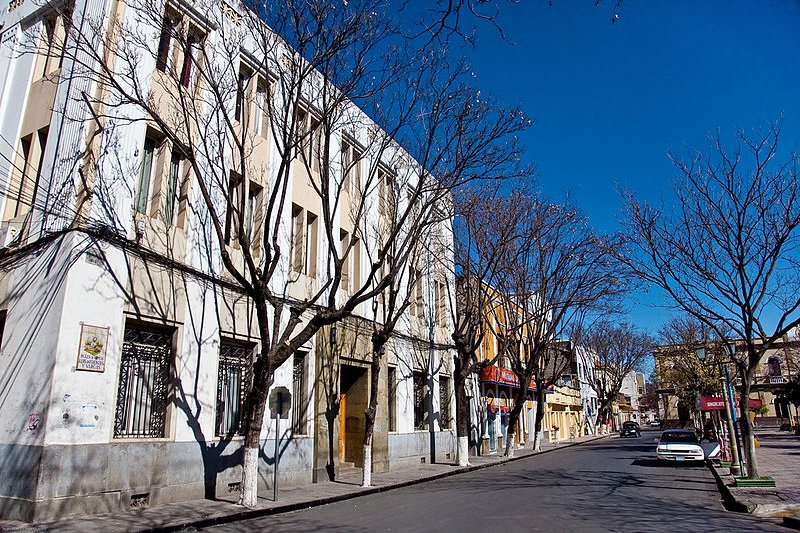
 Tarija, Bolivia
Source: https://commons.wikimedia.org/wiki/File:Plaza_de_Armas_Luis_de_Fuentes_y_Vargas_%28Plaza_Principal%29_-_Tarija_-_Bolivia.jpg
Author: Sean Mulry

Visiting Tarija
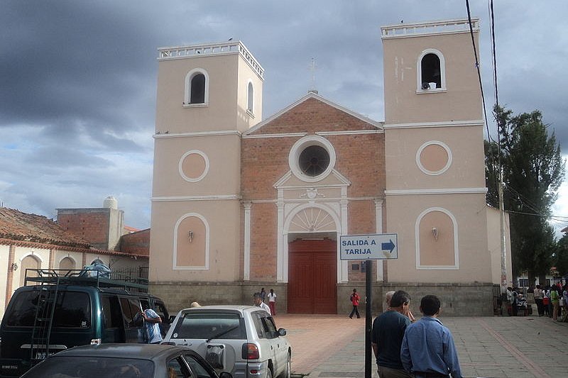
You can fly to Tarija from Santa Cruz de la Sierra. If you are coming from Argentina, you can also take a bus or shared taxi (called colectivo) from Bermejo, the Bolivian border town across from Argentina. There are no immigration officer stationed at the border itself. You need to go to the immigration office near the bridge to get your passport stamped. San Lorenzo Parish in Tarija
Source: https://commons.wikimedia.org/wiki/File:Parroquia_San_Lorenzo_-_Valle_de_la_Concepci%C3%B3n,_Tarija_.jpg
Author: Suomi 1973

Places of Interest from Tarija
- Gran Chaco, Paraguay
This is the semi-arid region on the Río de la Plata basin between eastern Bolivia, Paraguay and northern Argentina. - Salar de Uyuni
The world's biggest salt flat, covering 19,582 sq km (4,086 sq mi).
 Latest updates on Penang Travel Tips
 Discover with Timothy YouTube Channel
 PG Food Channel
 Learn Penang Hokkien YouTube Channel
 SojiMart Videos
Latest from Discover with Timothy: Gurney Bay - what to see and do there
About this website

Hello and thanks for reading this page. My name is Timothy and my hobby is in describing places so that I can share the information with the general public. My website has become the go to site for a lot of people including students, teachers, journalists, etc. whenever they seek information on places, particularly those in Malaysia and Singapore. I have been doing this since 5 January 2003, for over twenty years already. You can read about me at Discover Timothy. By now I have compiled information on thousands of places, mostly in Peninsular Malaysia and Singapore, and I continue to add more almost every day. My goal is to describe every street in every town in Malaysia and Singapore.
Robbie's Roadmap
- Episode 1: Robbie's Journey to Financial Freedom
- Episode 2: Lost in America
- Episode 3: The Value of Money
- Episode 4: The Mentor
- Episode 5: The Thing that Makes Money
- Episode 6: The walk with a Billionaire
- Episode 7: The Financial Freedom Awakening
- Episode 8: Meet Mr Washington
- Episode 9: The Pizzeria Incident
Copyright © 2003-2024 Timothy Tye. All Rights Reserved.


 Go Back