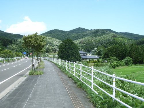
 Mount Gongen, Sendai, Miyagi Prefecture
Source: http://commons.wikimedia.org/wiki/File:GongenMori2005-7.jpg
Author: Kinori

Tohoku region comprises six prefectures namely Akita, Aomori, Fukushima, Iwate, Miyagi and Yamagata. It is a mountainous region with the Ou Mountains running north-south through the region. It was settled relatively late, in the 7th to 9th centuries, after the Japanese civilization has become firmly established in central and southwestern Japan.
The Tohoku region is the main supplier of rice and farm products to the populated areas of central Japan, including 20% of the rice output of the country. As the region experiences a harsh climate, only one crop of rice can be grown per year.
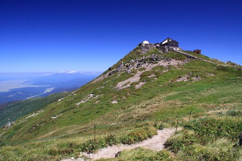
 Sacred Mount Gassan, Yamagata Prefecture
Source: http://commons.wikimedia.org/wiki/File:Precincts_of_Gassan_jinja.JPG
Author: Chiefl-lira

Prefectures of Tohoku Region
Cities of Tohoku Region
Natural Sights of Tohoku Region
- Hakkoda Mountains
- Kitakami River
- Lake Tazawa
- Lake Towada
- Matsushima Bay
- Mount Bandai
- Mount Hayachine
- Mount Iwaki
- Mount Osore
- Oirase River Valley
- Three Mountains of Dewa
National Parks in the Tohoku Region
- Bandai-Asahi National Park
- Rikuchu Kaigan National Park
- Towada-Hachimantai National Park
 Latest updates on Penang Travel Tips
 Discover with Timothy YouTube Channel
 PG Food Channel
 Learn Penang Hokkien YouTube Channel
 SojiMart Videos
 Share your travels and/or ask a travel-related question
Join the Penang Travel Tips Facebook Group to share photos, tips and anything related to your travels, or ask travel-related questions.
 Map of Roads in Penang
Looking for information on Penang? Use this Map of Roads in Penang to zoom in on information about Penang, brought to you road by road. Discover with Timothy
Let me take you to explore and discover Penang through my series of walking tours on YouTube. You may use these videos as your virtual tour guide. At the beginning of each video, I provide the starting point coordinates which you may key into your GPS, Google Maps or Waze, to be navigated to where I start the walk, and use the video as your virtual tour guide.Disclaimer
Please use the information on this page as guidance only. The author endeavours to update the information on this page from time to time, but regrets any inaccuracies if there be any.Latest from Discover with Timothy: Gurney Bay - what to see and do there
About this website

Hello and thanks for reading this page. My name is Timothy and my hobby is in describing places so that I can share the information with the general public. My website has become the go to site for a lot of people including students, teachers, journalists, etc. whenever they seek information on places, particularly those in Malaysia and Singapore. I have been doing this since 5 January 2003, for over twenty years already. You can read about me at Discover Timothy. By now I have compiled information on thousands of places, mostly in Peninsular Malaysia and Singapore, and I continue to add more almost every day. My goal is to describe every street in every town in Malaysia and Singapore.
Robbie's Roadmap
- Episode 1: Robbie's Journey to Financial Freedom
- Episode 2: Lost in America
- Episode 3: The Value of Money
- Episode 4: The Mentor
- Episode 5: The Thing that Makes Money
- Episode 6: The walk with a Billionaire
- Episode 7: The Financial Freedom Awakening
- Episode 8: Meet Mr Washington
- Episode 9: The Pizzeria Incident
Copyright © 2003-2024 Timothy Tye. All Rights Reserved.


 Go Back