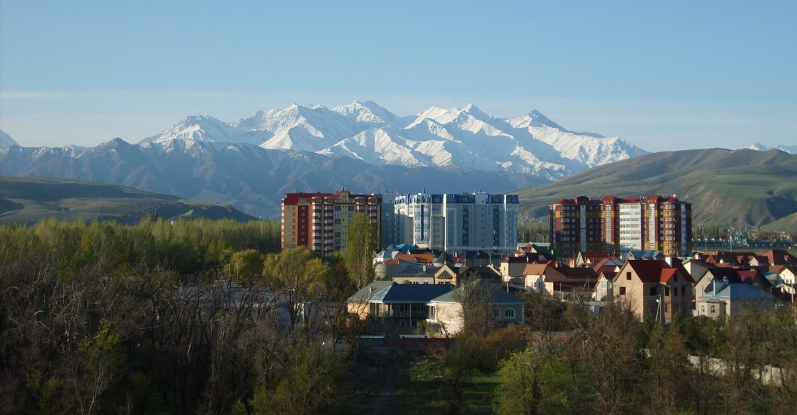
Panorama of Bishkek, capital of Kyrgyzstan
 http://commons.wikimedia.org/wiki/File:Bishkek.jpg
 Almutamid
Kyrgyzstan (Kyrgyz: Кыргызстан) is a landlocked nation, officially called the Kyrgyz Republic (Kyrgyz: Кыргыз Республикасы Kyrgyz Respublikasy), located in Central Asia. This mountainous country is bordered by Kazakhstan to the north, China to the east, Tajikistan to the southwest, and Uzbekistan to the west. Kyrgyzstan covers 199,000 sq km (77,181 sq mi) and has a population of 5.5 million people. Its capital and biggest city is Bishkek.
Ethnic Kyrgyz forms 68.9% of the population, followed by 14.4% ethnic Uzbek and 9.1% ethnic Russian. The official language is Russian while the state language is Kyrgyz. The name "Kyrgyz" is a Turkic word meaning "forty", referring to the forty different tribes that banded together.
Kyrgyzstan is six hours ahead of Coordinated Universal Time (UTC+6). Traffic is driven on the right here. The phone IDD code is +996. The electricity is 220V/50Hz using European plug.
The state of Kyrgyzstan traces its history to the 8th century, when Arab invaders introduced Islam to Central Asia. The Kyrgyz state reached its biggest size under Jordan the Superior in AD 840. Over the centuries, it shrunk in size as neighboring tribes rose in power. The Kyrgyz were conquered by the Mongols under Genghis Khan in 1207.
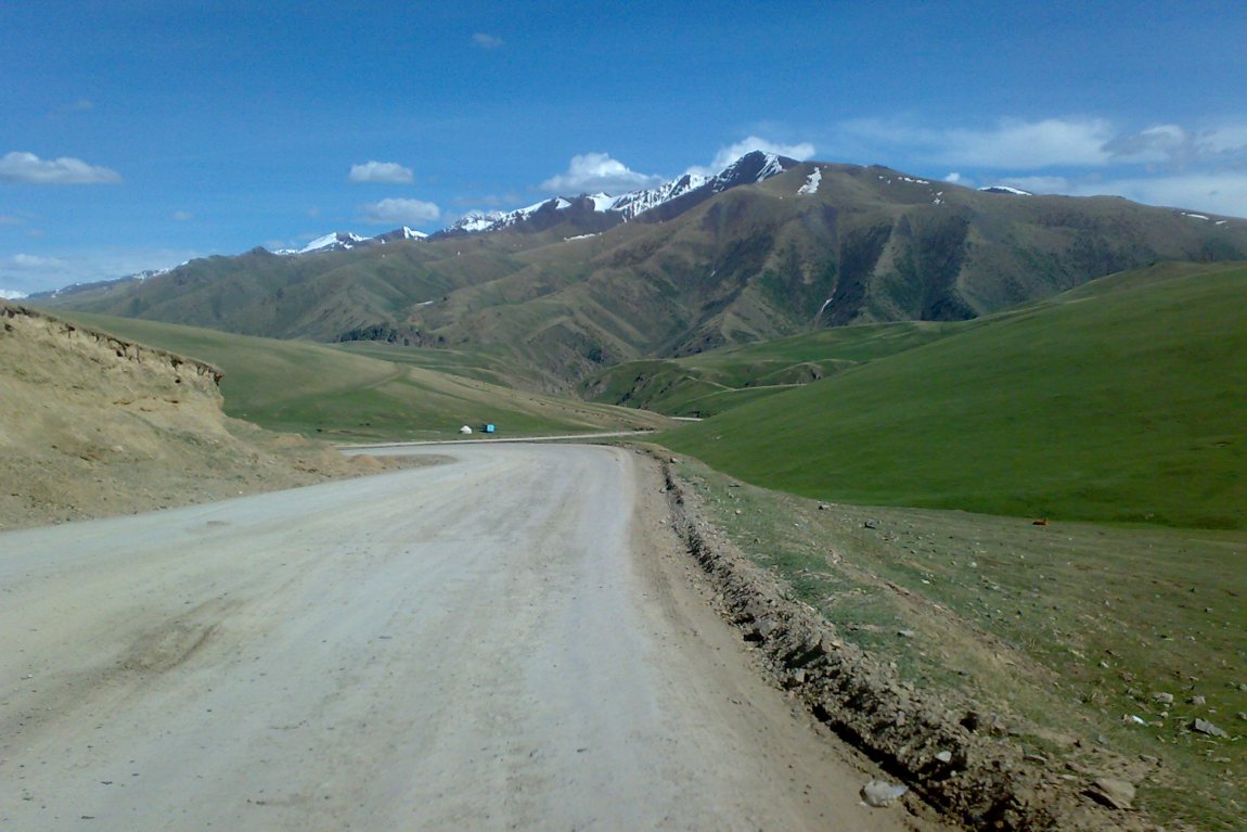
Dolon Pass, Kyrgyzstan
 http://commons.wikimedia.org/wiki/File:Dolon_pass.jpg
 Nurdjen
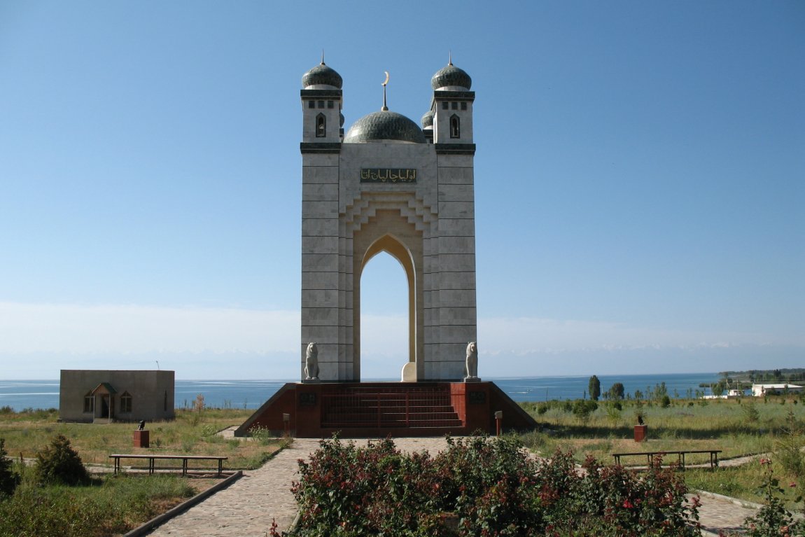
Monument at Issyk Kul Lake, near Cholpon-Ata
 http://commons.wikimedia.org/wiki/File:Issyk-Kul_Monument_Aug_2006.JPG
 Nikolay Yushnikov
China was in control of much of Kyrgyzstan until the late 19th century, when the much weakened China of the Qing Dynasty ceded it to Russia, and it was formally incorporated into the Russian Empire in 1876, a move which resulted in numerous revolts by the locals and an influx of refugees south, to Afghanistan. Another wave of Kyrgyz refugees streamed into China following suppression from the 1916 rebellion against Russian rule.
On 5 December, 1936, the Kirghiz Soviet Socialist Republic was formed, as a full republic within the Soviet Union. When the Soviet Union was in the brim of collapse, a referendum pointed out to a overwhelming majority (88.7%) who voted to retain the Soviet Union, as the state was economically unable to stand independently. Nevertheless secessionists pushed for Kyrgyz independence, which came about on 19 August, 1991. The country was named the Republic of Kyrgyzstan, and later in 1993 renamed the Kyrgyz Republic.
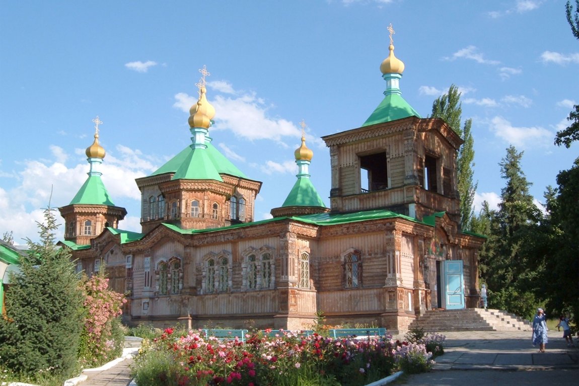
Russian Orthodox Holy Trinity Cathedral, Karakol, Kyrgyzstan
 http://commons.wikimedia.org/wiki/File:Karakol_cathedral.jpg
 hux
hux
The official currency of Kyrgyzstan is the Som (KGS). In 2010, Kyrgyzstan had an estimated nominal GDP of $5.122, equivalent to a per capita nominal GDP of $941. Its per capita GDP at purchasing power parity is $2,341.
The country is one of the poorest in the region, and the increase in cost of living sparked a demonstration which erupted as recently as 6 April, 2010. A week later, the Kyrgyz President Kurmanbek Bakiyev fled the country with his family.
Planning your trip to Kyrgyzstan
Due to deteriorated political stability of the country, casual visitors and tourists are discouraged from visiting Kyrgyzstan until the situation improves.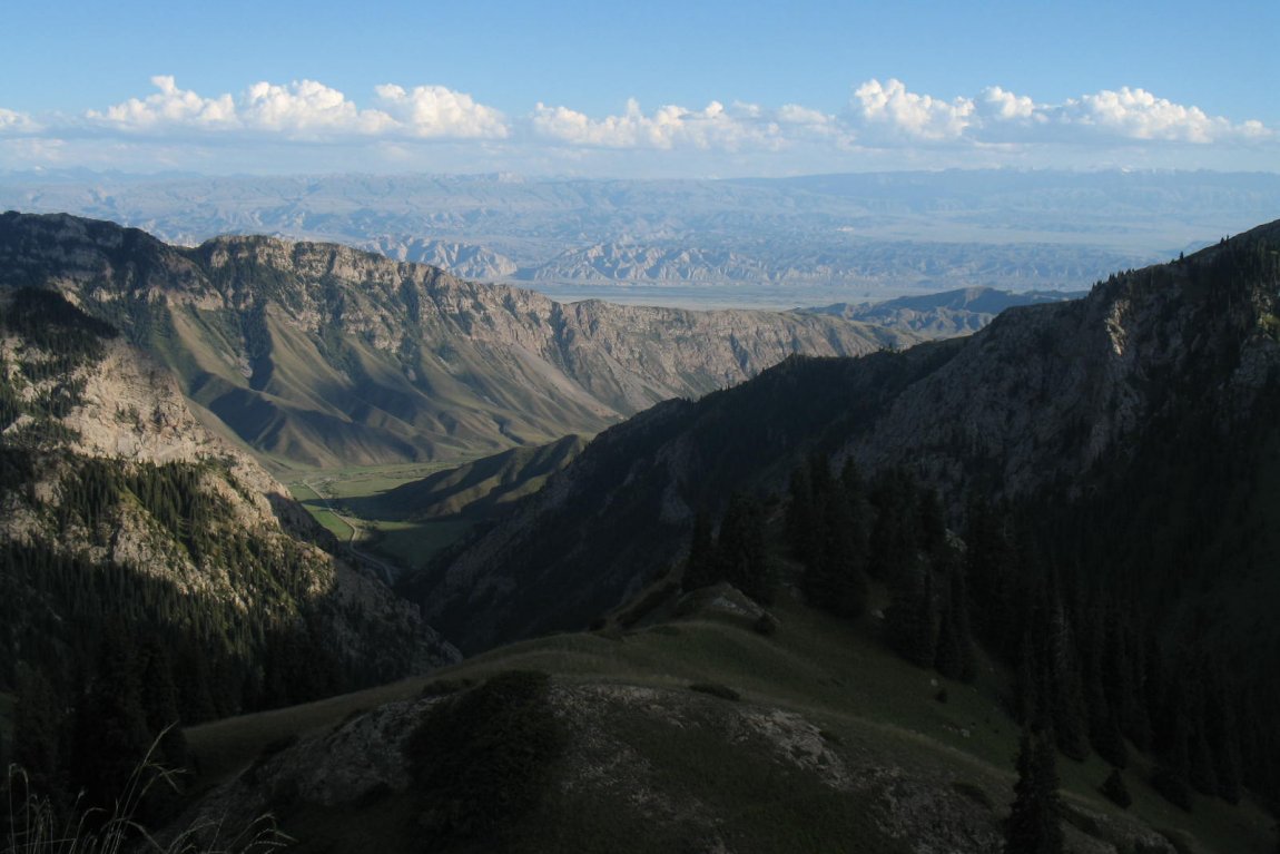
Moldo Ashuu Pass, Kyrgyzstan
 http://commons.wikimedia.org/wiki/File:Moldo_ashuu.jpg
 Firespeaker
Travel Tips to Major Towns in Kyrgyzstan
- Bishkek - capital
- Balykchy
- Jalal-Abad
- Karakol
- Kochkor
- Naryn
- Osh
- Talas
- Tokmok
Places of Interest in Kyrgyzstan
- Ala Archa National Park
- Burana Tower
- Lake Issyk Kul
- Lake Song Kul
- Tash Rabat
World Heritage Sites in Kyrgyzstan
 Latest updates on Penang Travel Tips
 Discover with Timothy YouTube Channel
 PG Food Channel
 Learn Penang Hokkien YouTube Channel
 SojiMart Videos
 Share your travels and/or ask a travel-related question
Join the Penang Travel Tips Facebook Group to share photos, tips and anything related to your travels, or ask travel-related questions.
 Map of Roads in Penang
Looking for information on Penang? Use this Map of Roads in Penang to zoom in on information about Penang, brought to you road by road. Discover with Timothy
Let me take you to explore and discover Penang through my series of walking tours on YouTube. You may use these videos as your virtual tour guide. At the beginning of each video, I provide the starting point coordinates which you may key into your GPS, Google Maps or Waze, to be navigated to where I start the walk, and use the video as your virtual tour guide.Disclaimer
Please use the information on this page as guidance only. The author endeavours to update the information on this page from time to time, but regrets any inaccuracies if there be any.Latest from Discover with Timothy: Gurney Bay - what to see and do there
About this website

Hello and thanks for reading this page. My name is Timothy and my hobby is in describing places so that I can share the information with the general public. My website has become the go to site for a lot of people including students, teachers, journalists, etc. whenever they seek information on places, particularly those in Malaysia and Singapore. I have been doing this since 5 January 2003, for over twenty years already. You can read about me at Discover Timothy. By now I have compiled information on thousands of places, mostly in Peninsular Malaysia and Singapore, and I continue to add more almost every day. My goal is to describe every street in every town in Malaysia and Singapore.
Robbie's Roadmap
- Episode 1: Robbie's Journey to Financial Freedom
- Episode 2: Lost in America
- Episode 3: The Value of Money
- Episode 4: The Mentor
- Episode 5: The Thing that Makes Money
- Episode 6: The walk with a Billionaire
- Episode 7: The Financial Freedom Awakening
- Episode 8: Meet Mr Washington
- Episode 9: The Pizzeria Incident
Copyright © 2003-2024 Timothy Tye. All Rights Reserved.


 Go Back