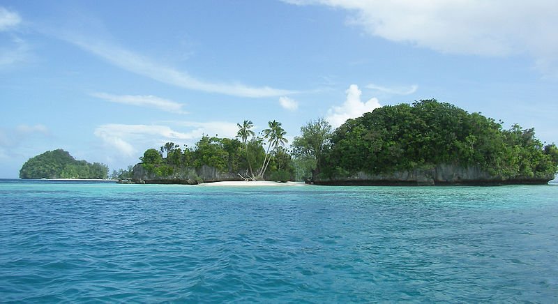
 Rock Islands, Palau
Source: https://commons.wikimedia.org/wiki/File:Palau-rock-islands20071222.jpg
Author: Peter R Binter

Palau is an island republic on the western part of the Pacific Ocean. It is located to the east of the Philippines, to the south of Japan, and to the north of West Papua, Indonesia. It covers 459 sq km (177 sq mi) and has a population of about 21,000 (2011 estimate). Its capital is Melekeok while its biggest city is Koror.
Palau is nine hours ahead of Coordinated Universal Time (UTC+9). Traffic is driven on the right here. The US dollar is used as the official currency. The phone IDD code is +680. The electricity here is 120V/60Hz using North American plug.
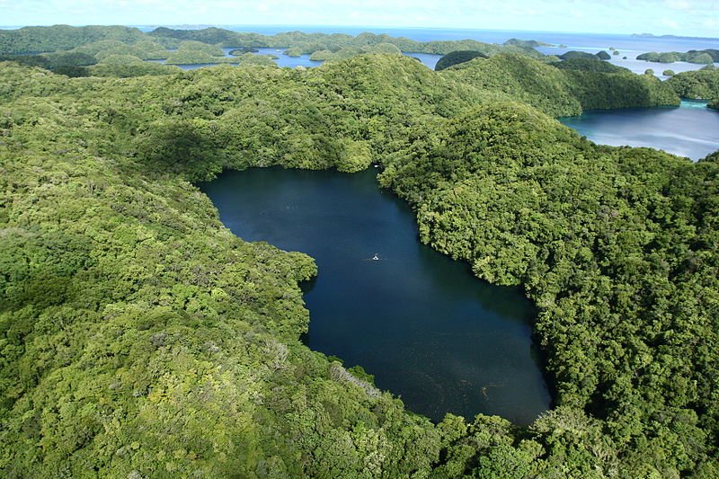 Jellyfish Lake of Palau
Source: https://commons.wikimedia.org/wiki/File:Jellyfish_Lake_aerial_%28March_2008%29.jpg
Author: Lukas

Geographically, Palau comprises sixteen main islands, the major ones being Angaur, Babeldaob, Koror and Peleliu. The most populous island is Koror, which is home to two-thirds of the population. The country experiences a tropical climate with only minor variation in temperature throughout the year, averaging around 28°C (82°F). The wet season is from July to October, and unlike many Pacific nations, it is rarely hit by typhoons.
Palau was historically known as the Black Islands. It has been inhabited for thousands of years when Europeans first arrived there in the 18th century. It was a colony of Spain until 1899, when it was sold to Germany. Administration of the islands then passed to Japan in 1914.
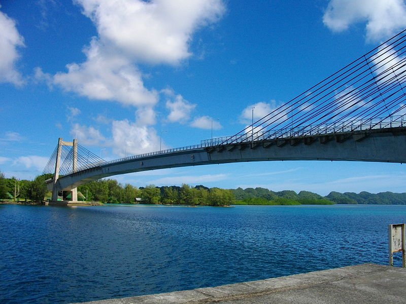 The Japan-Palau Friendship Bridge between Koror and Babeldaob, Palau
Source: https://commons.wikimedia.org/wiki/File:Japan-Palau_Friendship_Bridge_2.JPG
Author: Abasaa

After the defeat of Japan in the Second World War, Palau was taken over by the United States. In 1947 it became the Trust Territory of the Pacific Islands. The road towards independence began in 1978, when Palau opted out of the Federation of Micronesia It became fully independent in 1994. Today it is one of the youngest and smallest countries within the United Nations.
The 2008 estimate GDP of Palau at purchasing power parity was $164 million, equivalent to a per capita GDP of $8,100. Traditional an economy based on agriculture and fishing, today Palau's economy is shifting towards greater emphasis on tourism. The country has a number of diving spots such as barrier reefs and World War II wrecks that attract divers and snorkellers from around the world. The island is also working towards becoming an offshore financial center.
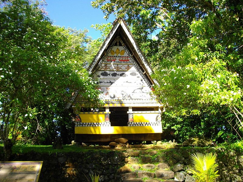 Belau National Museum, Palau
Source: https://commons.wikimedia.org/wiki/File:BNM_Bai_1.JPG
Author: Abasaa

Planning your visit to Palau
Visitors from the United States do not need a visa while visitors from most other countries are given a free 30-day tourist visa upon arrival. The only international airport in the Roman Tmetuchl International Airport (ROR), located north of Airai on Babelthuap Island. The airport receives regular flights from Guam, Manila, Seoul and Tokyo.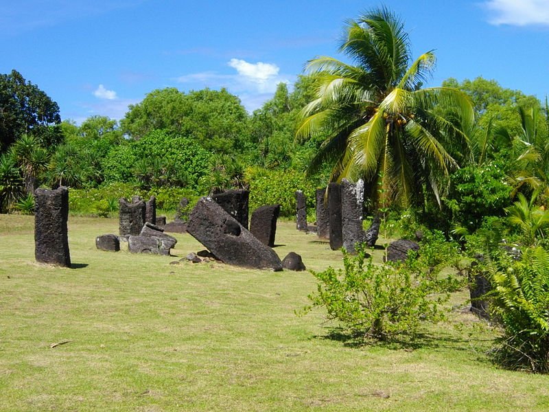 Badrulchau Stone Monoliths, Palau
Source: https://commons.wikimedia.org/wiki/File:Badrulchau_Stone_Monoliths_5.JPG
Author: Abasaa

Major Cities in Palau
- Melekeok - capital
- Koror - biggest city
Places of Interest in Palau
- Aimeliik Stone Face
- Badrulchau Stone Monoliths
- Chelechui Terraces
- Jellyfish Lake
 Latest updates on Penang Travel Tips
 Discover with Timothy YouTube Channel
 PG Food Channel
 Learn Penang Hokkien YouTube Channel
 SojiMart Videos
Latest from Discover with Timothy: Gurney Bay - what to see and do there
About this website

Hello and thanks for reading this page. My name is Timothy and my hobby is in describing places so that I can share the information with the general public. My website has become the go to site for a lot of people including students, teachers, journalists, etc. whenever they seek information on places, particularly those in Malaysia and Singapore. I have been doing this since 5 January 2003, for over twenty years already. You can read about me at Discover Timothy. By now I have compiled information on thousands of places, mostly in Peninsular Malaysia and Singapore, and I continue to add more almost every day. My goal is to describe every street in every town in Malaysia and Singapore.
Robbie's Roadmap
- Episode 1: Robbie's Journey to Financial Freedom
- Episode 2: Lost in America
- Episode 3: The Value of Money
- Episode 4: The Mentor
- Episode 5: The Thing that Makes Money
- Episode 6: The walk with a Billionaire
- Episode 7: The Financial Freedom Awakening
- Episode 8: Meet Mr Washington
- Episode 9: The Pizzeria Incident
Copyright © 2003-2024 Timothy Tye. All Rights Reserved.


 Go Back